In this section:
Making a map
Navigating the Map and Defining Waypoints
Defining Patrol Routes


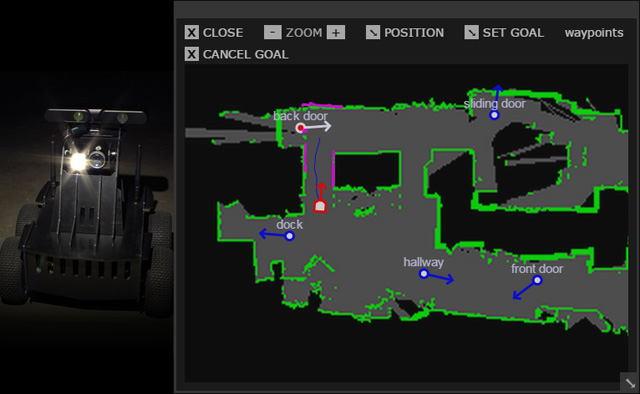
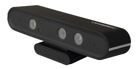
Oculus Prime, equipped with the Orbbec Astra sensor, can drive itself autonomously, dynamically detecting and avoiding moving and stationary obstacles. You can create a map of an area, set navigation goals and define waypoints on the map, remotely using the web browser interface.
Once you have waypoints created, you can use them to define a patrol route, with optional actions for each waypoint, including:
- Motion detection
- Sound detection
- Take a photo
- Human detection
- Email and RSS alerts
Routes can be scheduled based on time of day, day of week, and duration. Route details are recorded in the navigation log web-page, complete with individual route status and photos of events.
NEXT: Making a map
